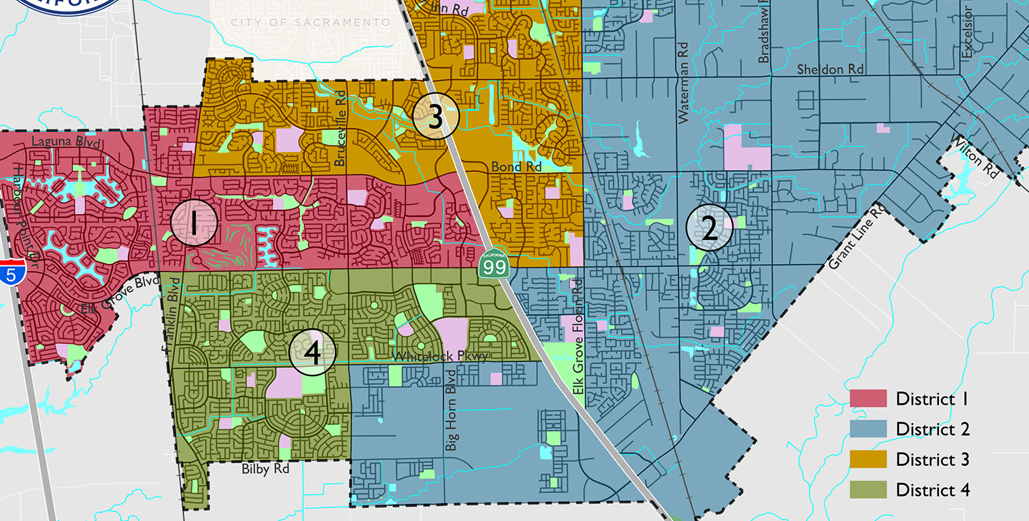
The City of Elk Grove uses GIS to integrate existing databases with interactive mapping applications. We maintain a collection of geographic information that includes GIS map layers, aerial photography, property information, as well as a variety of digital static maps and an interactive web maps. This information is made available to the public through this website.
Sacramento County GIS is also a resource for downloading GIS data. Compressed and zipped datasets can be downloaded for individual map layers.
Please Note: By visiting any of the mapping City's resources you agree to the information contained in the City's data disclaimer: All aspects of the data provided herein are susceptible to a degree of error due to the complexities of the process involved in compiling and programming the data. No warranty, representation, or guarantee is made or implied regarding the content, sequence, accuracy, timeliness, reliability or completeness of any data provided herein. All data visualizations on maps are approximate locations and attempts to derive specific locations or other information are not reasonable and are strictly prohibited.The visual presentation of data is provided strictly as a courtesy and not as an obligation to the users of this mapping application and no representation is made as to its accuracy. The City of Elk Grove does not have the available staff to assist in the interpretation of the data provided herein.This application is for informational purposes only and should not be used or relied upon for emergency services or for any other purposes.
Visit the City Information Gateway
Explore Interactive Maps
Contact
| GIS | |
|---|---|
GIS Division |
|


