Established in 2007 as a result of extensive community outreach, the Rural Road Improvement Policy and Standards establish a system for incremental roadway improvements based on the values of the residents of the rural area.
TheRural Road Improvement Policyrequires that all road improvements:
- Respond to actual traffic impacts
- Include periodic evaluations
- Include criteria for traffic counts, safety, and tolerance for delay
- Include a public workshop
TheRural Road Improvement Standardsestablish roadway design guidelines that are in keeping with the character of the rural area, including:
- All roads will have minimal lane widths with open drainage and native landscaping
- Roads will not include a curb, gutter, or sidewalk
- Where informal paths are necessary or desired, surfaces will be made of decomposed granite or similar
- Bike routes will share the lane with vehicles (no pavement marking)
- Bike lanes will include striping and pavement markings adjacent to the vehicle travel lane
Applicability of Rural Road Improvement Standards
Now adopted by the City Council, the Rural Road Improvement Standards apply to all future road improvement projects within the project area, including both new road construction and road widening projects. Again, it is not the intent of these new design standards to change the planned roadway improvements outlined in the adopted General Plan, but rather to affect the design of future improvements to be more rural in character.
As directed by the City Council in October 2006, the design provisions of the Rural Road Improvement Standards will inform ultimate design of the north side of the approved Bond Road widening project. Bond Road is located along the southern boundary of the project area. The widening project was approved with rural improvements on the north side (for example, no curb, gutter, or sidewalk and limited street lighting) and urban improvements on the south side.
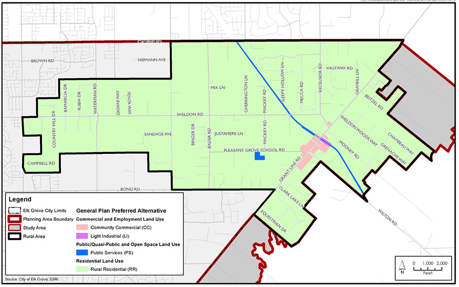
The project area subject to the Rural Road Improvement Standards is the Rural Area Community Plan as outlined in the General Plan and shown on the map below.


